The Quick and Dirty:
Location – San Gorgonio Wilderness
Distance – 14 miles round trip
Terrain Type – Dirt and Sand, Switch backs, narrow trail.
Difficulty – Intermediate to Strenuous
Best Time – Spring through Fall
Special Conditions – Permit required, apply in advance.

San Bernardino Peak sits 10,470 feet above Redlands, California. While not the tallest peak in Southern California, it is one of the best destinations for weekend backpacking due to the close proximity to the greater Los Angeles area.
We started our trip on Friday right after work and headed up to Angelus Oaks. From Orange County, it took us less than an hour and a half to reach Angelus Oaks. A short off-road section passed the fire station will take you to the trail head.
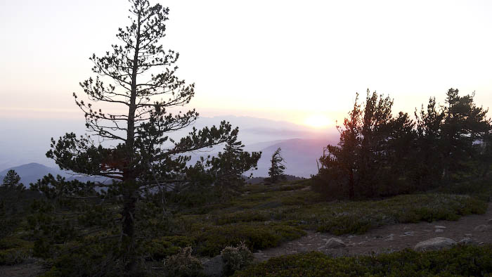
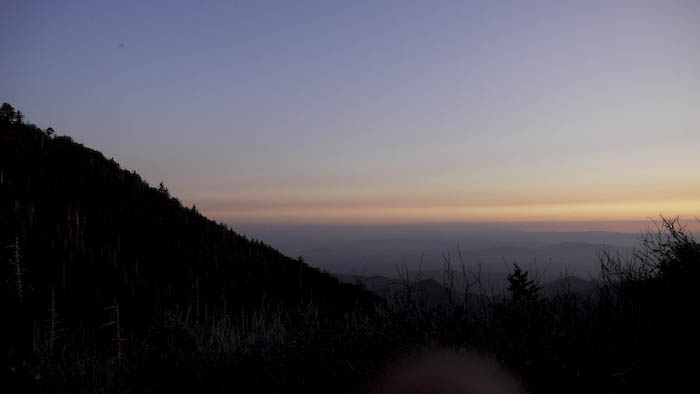
We immediately started our climb on the first switch backs at dusk. Our goal was to hike approximately 5.3 miles in the dark to get to our first camp site at Columbine Camp. The first section of the hike is the toughest segment as it is a constant climb up hill.
The trail eventually flattens out at the junction for the Peak, John’s Meadow, and Columbine Peak. Forking right will lead towards Columbine Camp, a very primitive camp. Most of the year, Columbine Creek is flowing, however, we got there right as the creek was drying up. In hindsight, we should have kept hiking as the camp ground was 300 feet down and did not have good soil to pitch a tent.

The next morning we packed up and started a 2.5 mile climb to Limber Pine Bench, our second campsite for the night.

We set up camp, rested a bit before heading up the trail to summit the peak. Water is available 3/4 of a mile from camp on the first switch back towards the peak. This is the only water available for Limber Pine Bench. The peak itself is approximately 2 miles from Limber Pine Bench.

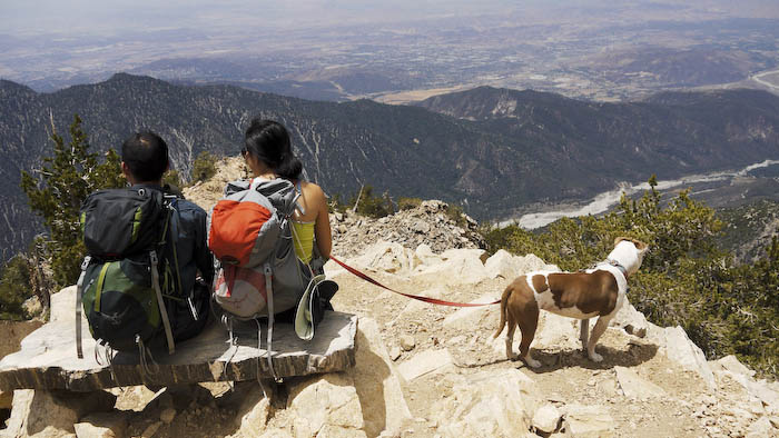
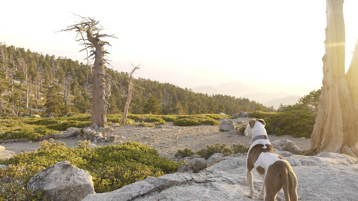
During the climb, you get great views of the San Gorgonio Wilderness, Mount. San Gorgonio, Big Bear Lake, and Redlands.

Ironically, the best views aren’t at the top of the peak, but a few switch backs before reaching the final climb.
The trail continues towards a fork for the Washington Monument. The Monument is worth a look. Many surveyors have left their mark on the monument.
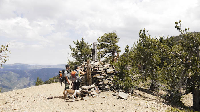
Once you reach the last segment of the climb, the trail forks: the trail to the right climbs directly up to the peak, the left trail climbs slowly to the top of the peak.
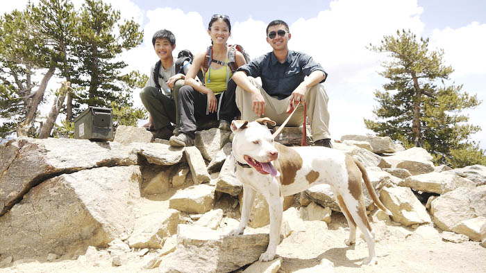
We returned back to camp and settled in for the night with a nice hot cup of coco. Dakota, while tired was still excited and had a great time.
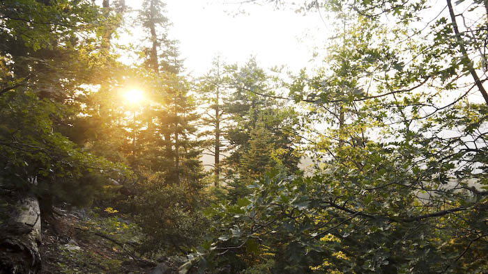
While the trail was short, the climb is a lot tougher than Mount. San Gorgonio. The views are beautiful during dusk and sunset.