The Quick and Dirty:
Location: Sequoia National Forest, Mineral King
Distance: 28-29 miles (we looked at 3 maps, all different mileage)
Terrain Type: Rolling, high, and long elevation climbs and descents
Difficulty: Strenuous
Best Time: Late summer and early fall, the road is closed when there is snow fall Special Conditions: Permit needed for over night camping. Windy and difficult road to reach the last 20 miles to the trailhead. Aggressive marmots in the spring and early summer. Bear canisters required.
Duration: 4 days
Every labor day we try to hit the trails. This labor day, and to celebrate our one year anniversary, we spent it backpacking one of our favorite locations in California.
We applied for the permits and received confirmation from the ranger station a few weeks in advance. Lucky for us because there was a line the day we picked up our permits! We left Orange County after work Thursday night and drove about five hours overnight to get to Mineral King. The last 20 miles to our campground at Cold Springs consisted of winding mountain roads that took Louis an hour an a half to get through. Sam fell asleep to avoid from getting carsick. Cold spring is a decent pull-in car camp at 7,500 feet elevation, it’s enough to acclimate for the next few days of climbing.
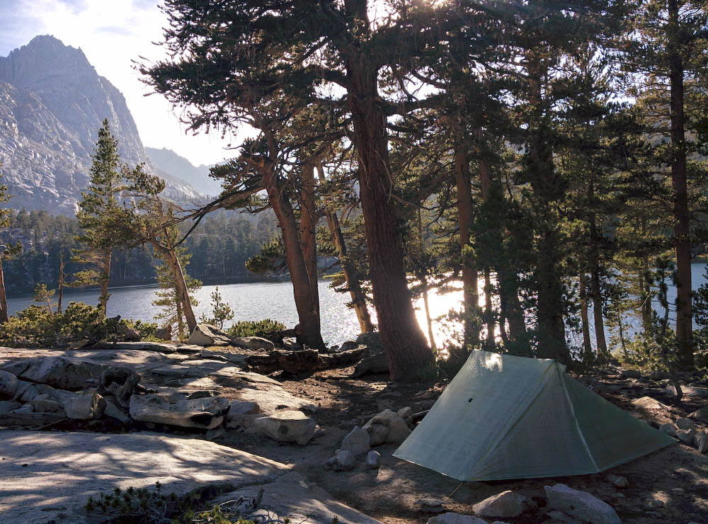
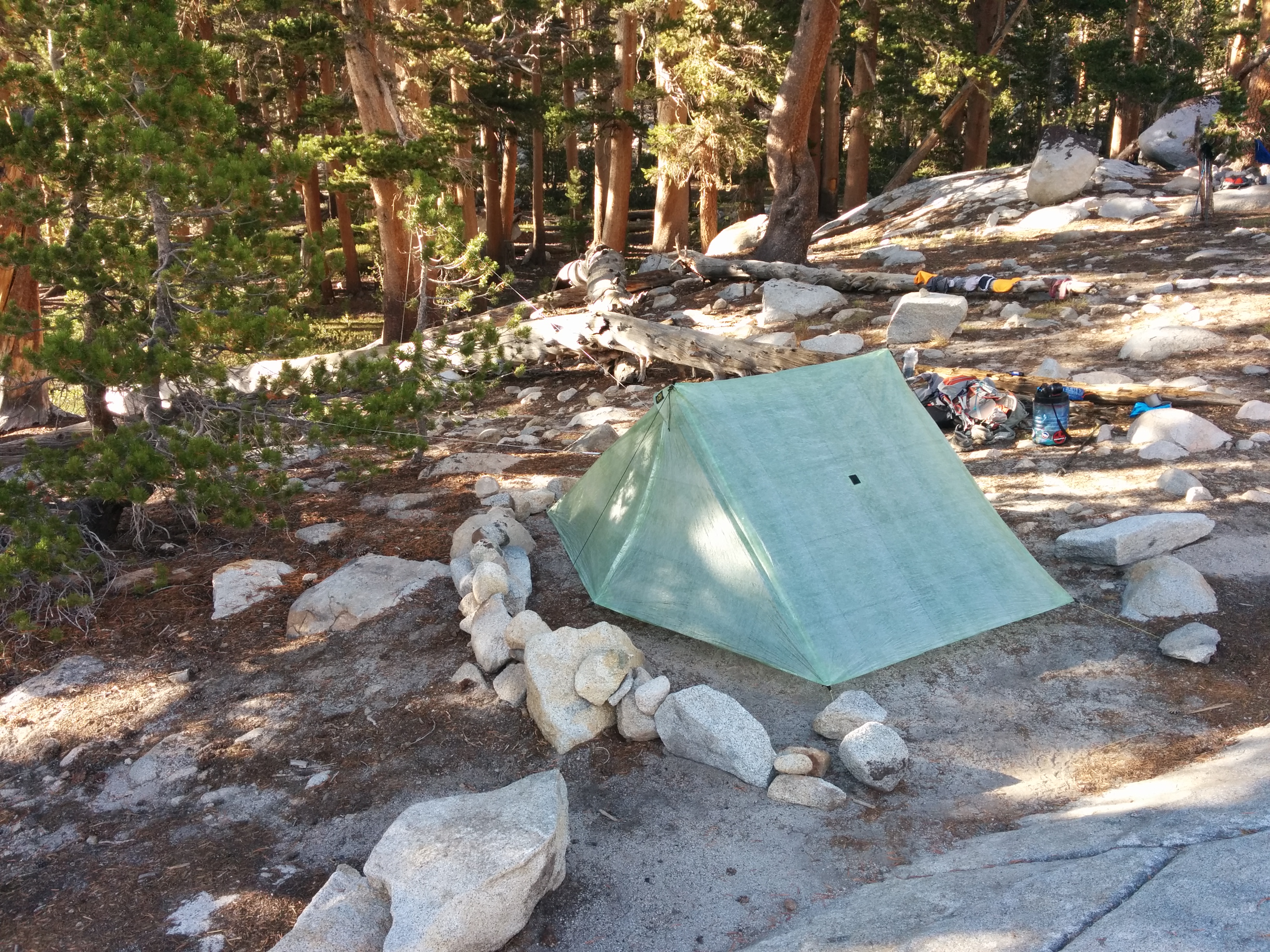
For this trip, we experimented with a lot of new gear and cooking techniques. Not only did we get to test out our new Six Moon Designs Haven Cuben, we were cooking with fresh foods and different ingredients.
First day we hiked from Timber Gap to Pinto “Lake.” The hike was about 9 miles to the campground, the weather was hot and miserable during the high noon hours. We took advantage of a cool river half way to Pinto Lake. Regardless of how warm the outside weather was, the water temperature was still very cold. Just a few seconds of sticking my feet in the water turned it numb.

Refilling water
We arrived at Pinto “Lake” in the late afternoon. I say lake with quotes because it was really just a stagnant pond. Do not expect much. We chose great campsites close to Cliff Creek just on the other side of trail. Watching the sunset against the rock cliff was a pretty sweet way to end our first day in the high sierras.
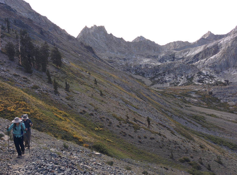
Day two we hiked from Pinto Lake, through Black Rock to Big Five Lakes, total mileage for the day was about 9 miles. Black Rock Pass is not an easy climb, but a seasoned backpacker should not have any issues. We opted to get an early start ahead of the a large group of backpackers that came in late at night and to get through the exposed pass before noon.
Climbing Black Rock, a race against the sun
 From the top of Black Rock Pass, the view opens up to Little Five Lakes, with Inyo National Forest in the back drop.
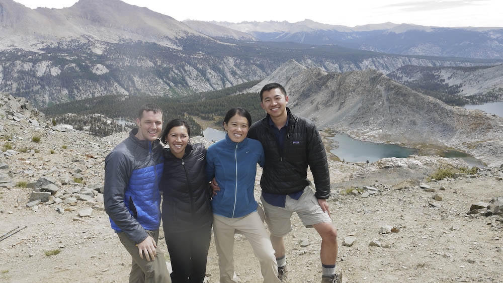
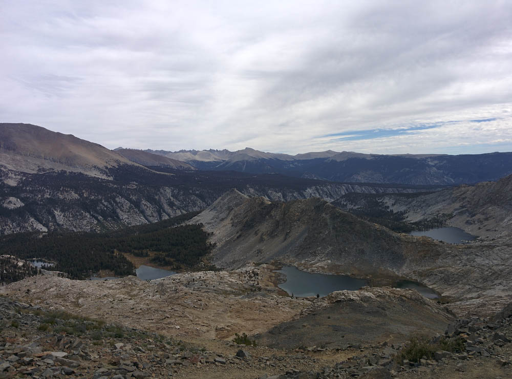
View on top of Black Rock pass looking towards Little Five Lakes
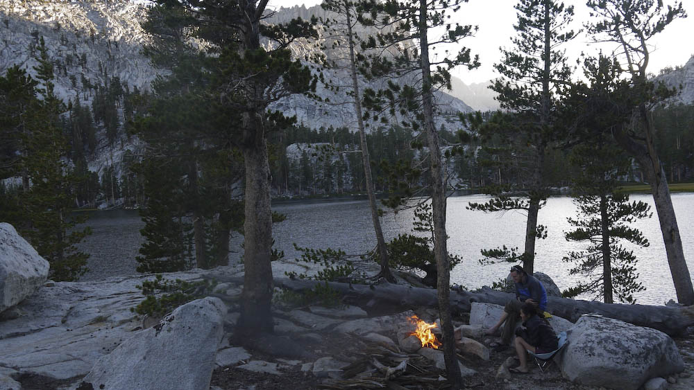
The hike from Little Five to Big Five lakes was fairly quick with some mild climbing. We opted to skip lunch to get to Big Five lakes to grab a good campground before the rest of the hikers make their way in. We had the most amazing time gazing at the stars that night. For once the weather outside was bearable and we had a nice fire. I don’t recall seeing the Milky Way this clearly before. We even saw a few satellites and shooting stars.
Big Five Lakes Campground

Louis built a windbreak around our tent to keep it safe at night
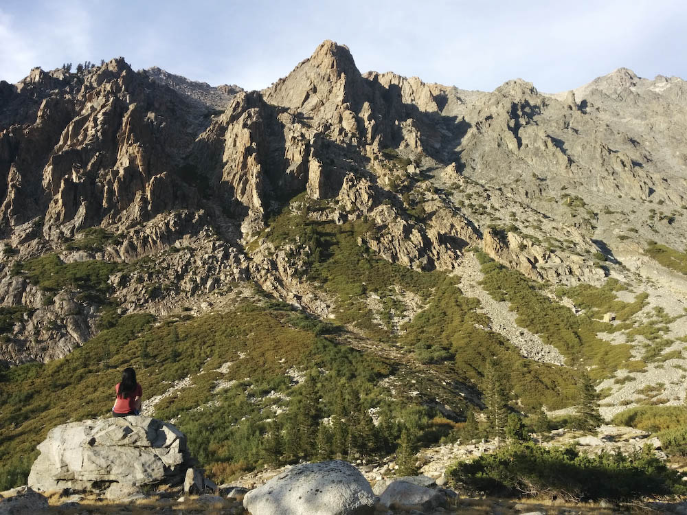
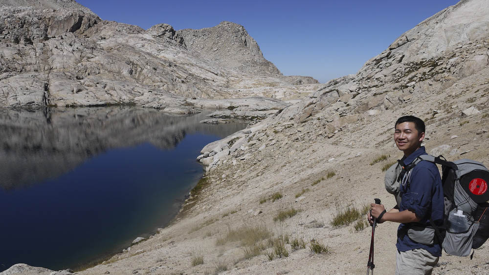
 Day three we hiked from Big Five Lakes through Lost Canyon and ascended into Columbine Lake, the total mile was about 6 miles. Lost Canyon Creek was flowing well, but as we got higher in elevation, the water levels dropped significantly due to the drought the area is experiencing. The climb through up and over Big Five Lakes into Lost Canyon was not challenging, but getting over from Lost Canyon to Columbine was difficult. The combination of the exposed sun and scree trail makes it hard to get a good grip on the surface. Make sure you look back as you reach the top – the views are stellar.

Before the tough climb to Columbine Lake
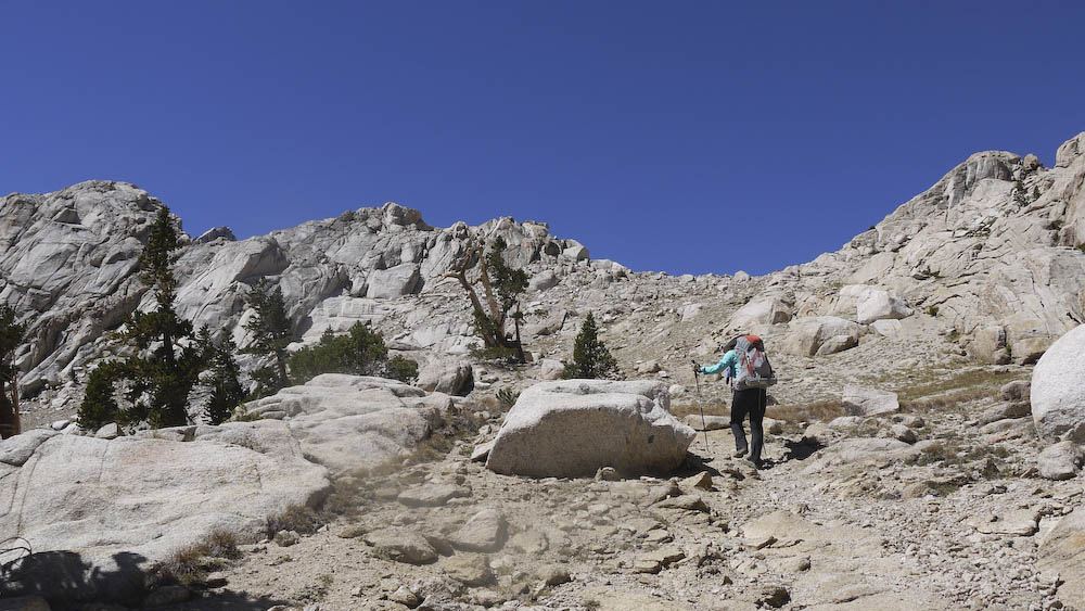
Climbing to Columbine Lake
Top of Columbine Lake
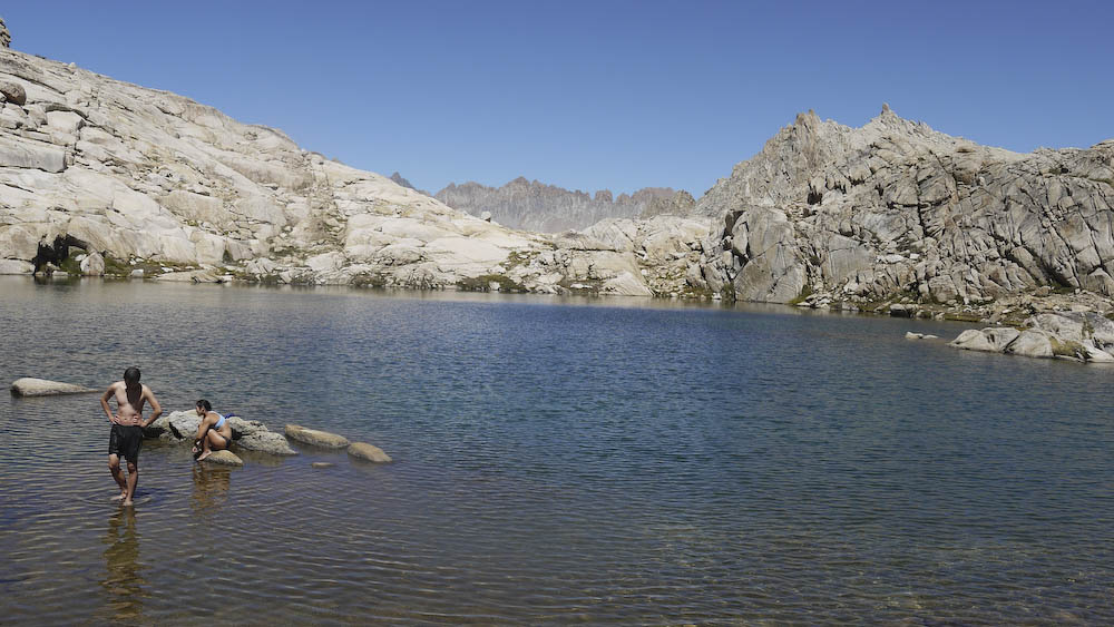
Instead of camping at the large Columbine lake, Louis ventured off to find our secret cove we stumbled upon three years ago. We set camp in one of the coves and took a dip in the lake. Water was freezing, but it was well worth it!
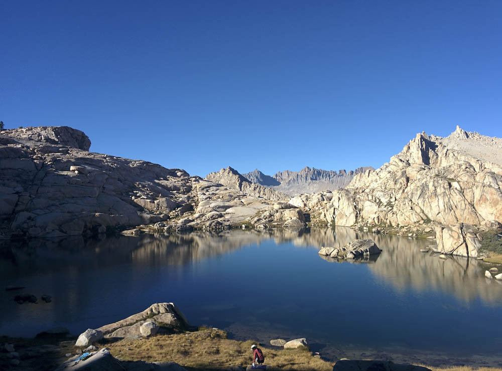
Our beautiful cove
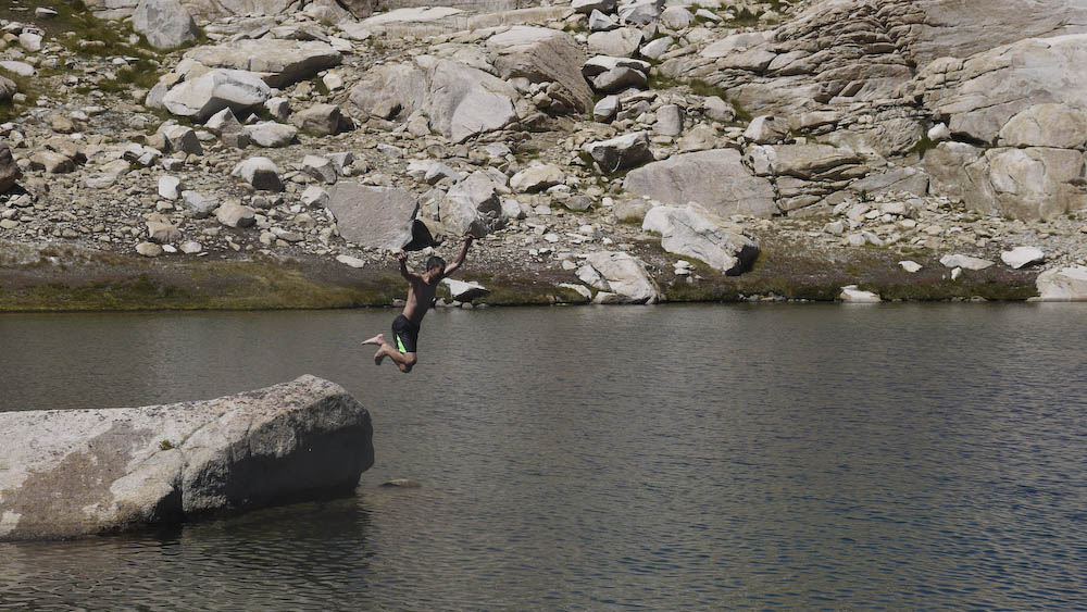
Louis taking a dip into the lake
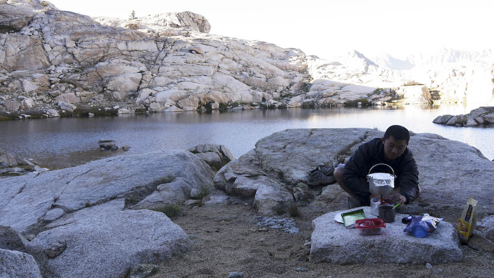
cooking dinner before the sunsets

Six Moon Designs Haven Cuben Tent
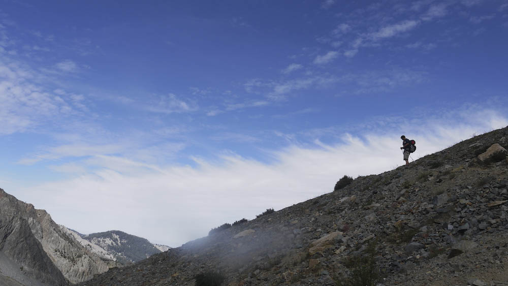
Day four we hiked out from Columbine through Sawtooth Pass and Monarch Lakes. The climb up to Sawtooth Pass required a bit of rock scrambling then a switch backs up the scree trail. We reached the top fairly early, and instead of tackling the peak, we descended down the pass. Fortunately and unfortunately, the rangers carved a path into the scree pass, which put us in very sketchy parts of the pass. A lot of sliding and stumbling later we reached Monarch Lakes and soon darted straight out to the trail head.
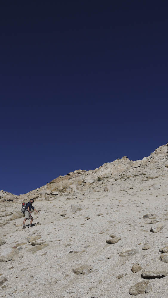
climbing up Sawtooth Pass

Top of Sawtooth Pass

Scrambling down Sawtooth Pass
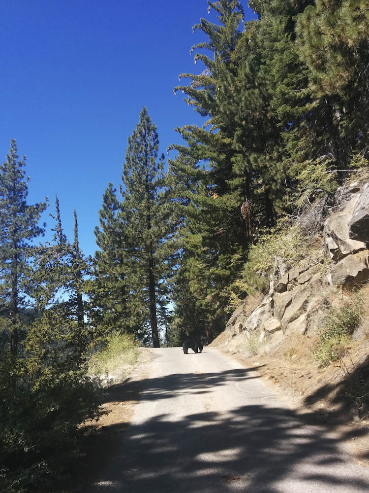
We saw this little guy munching on a pine cone on our way out of Mineral King. It took him a good 5 minutes and some honking before he darted out of the road. Needless to say, he’s pretty used to seeing people around the area.