
The Quick and Dirty:
Location: The turnoff for the trail is approximately 6 miles from O’Neil Park on Trabuco Canyon Road. Make a right turn onto a dirt parking lot onto Trabuco Creek Road and continue on Trabuco Creek Road for about 4.6 miles to the main parking lot for Holy Jim Falls. Tip: google maps will pull up the parking lot location if you search “Main Parking for Holy Jim Falls and Trail, Trabuco Creek Road, Corona, CA 92883.”
Distance: 16 miles round trip to Santiago Peak, 2.8 miles to Holy Jim Falls
Terrain Type: High clearance vehicle is highly recommended to get to the trail head. Nice coverage for the first 1.4 miles to Holy Jim Falls, it is a continuous climb with lots of sun exposure for the remainder of the hike to Santiago Peak. There are no water sources after the Holy Jim Falls, 3L of water is suggested if you plan on doing the entire 16 mile hike. This is a dog friendly trail.
Difficulty: Strenuous hike with more than 4,000 feet of elevation gain
Best Time: Year round but spring or after a rain event is the best time.
Duration: 6.5 hours, averaging 2 mph going to the peak and 3 mph coming down.

I love hiking in Southern California after a big rain storm. It transforms the forest from a patchy green mountain to a lush green paradise.Located only about 30 minutes away from our house, Holy Jim Trail is one of our favorite hikes. With cooler weather and no plans this Saturday, we loaded up the Xterra to hike the Santiago Peak with our dog Dakota.
Getting to the trail head:
Getting to the trail head can be tricky, especially after a rain storm. The 4.6 miles of off-roading on Trabuco Canyon Road gets progressively more difficult as you get closer to the trail head. A high clearance vehicle is highly recommended but we have reached the trail during the dry season with our Mazda Protege a couple years back. Looking back, I give all the credit to Louis for his driving skills, driving sedan on this road is definitely not something I would try to do myself.

Parking lot for the Holy Jim Trail. Parking is generally plentiful but it does get packed later in the day on a weekend. A National Forest Pass is required for parking at the trail head.
The hike
The first couple miles of the trail were covered with poison oak! Because of the rain wfrom the last couple of weeks, they were everywhere on the trail. Most of the plants were still green but there were definitely red patches throughout the trail. 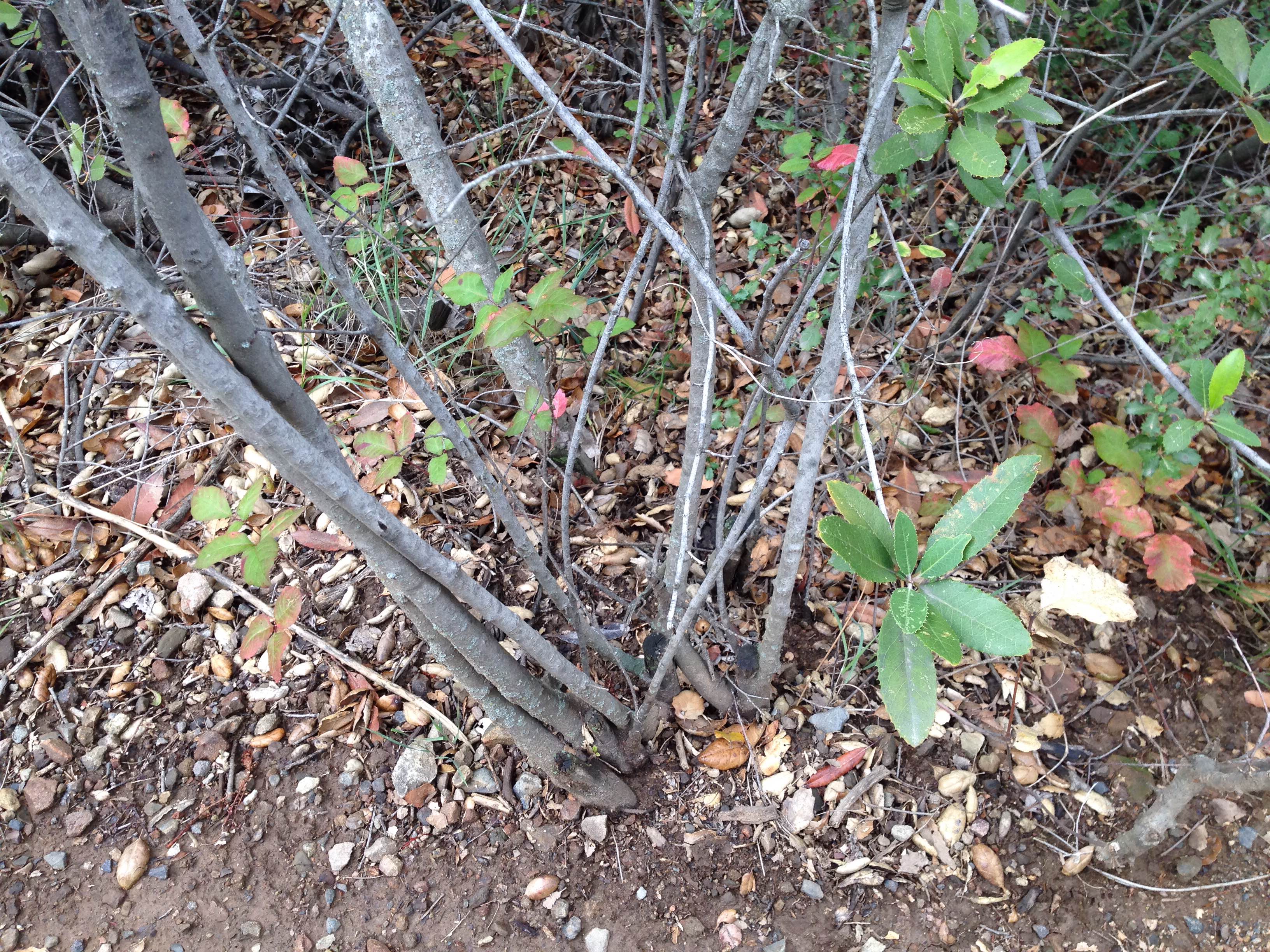
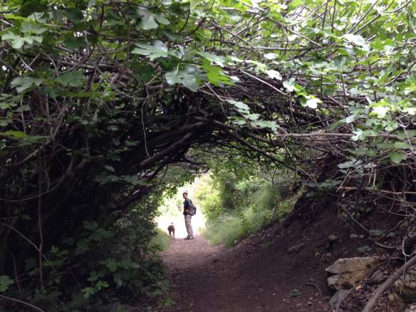
A fig tree canopy. We saw some green figs on these trees but they were not ripe enough to pick.
The split off for the Holy Jim Falls and Main Divide Road (path to Santiago Peak) is at 1.4 miles from the trail head. The water fall is worth a stop after a rain storm but during the dry months, the water flow is more like a trickle.
 The proceeding 3.5 miles to the Main Divide Road is a pretty brutal climb. It’s a single track trail and it is shared by hikers and mountain bikers. Watch for bike traffic and move aside for the cyclists as they are moving at a faster speed. Be patient, pace yourself because there is still a third of the way to go after you hit the Main Divide Road to the peak.
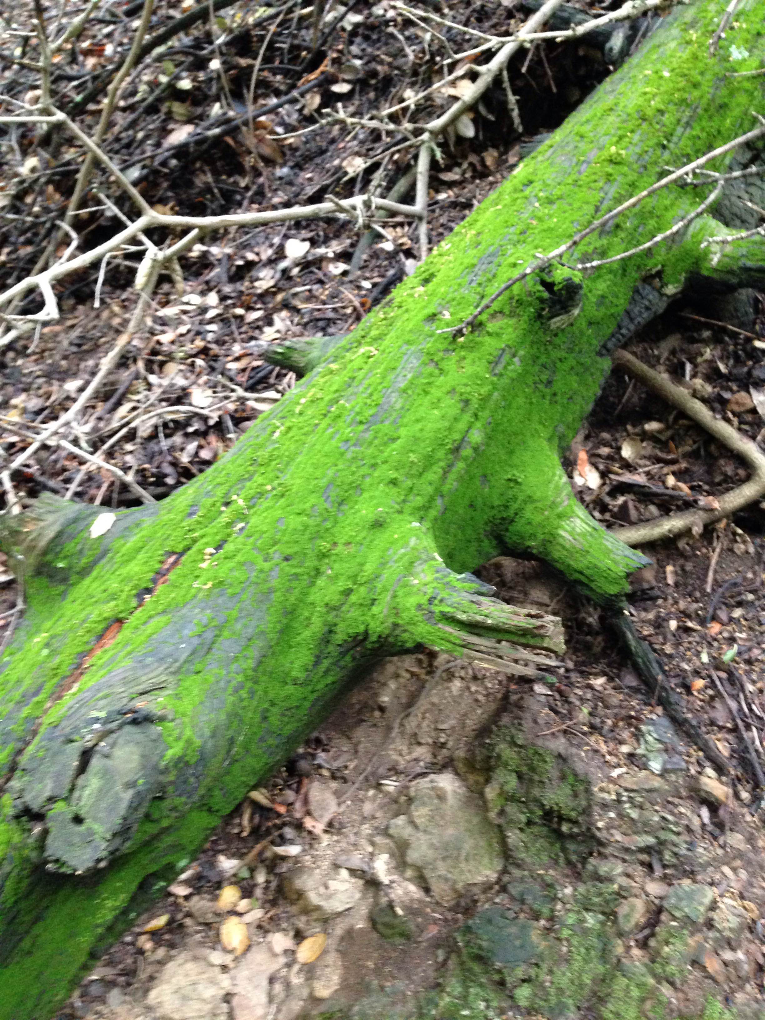
Look at how vibrant the moss is!!!
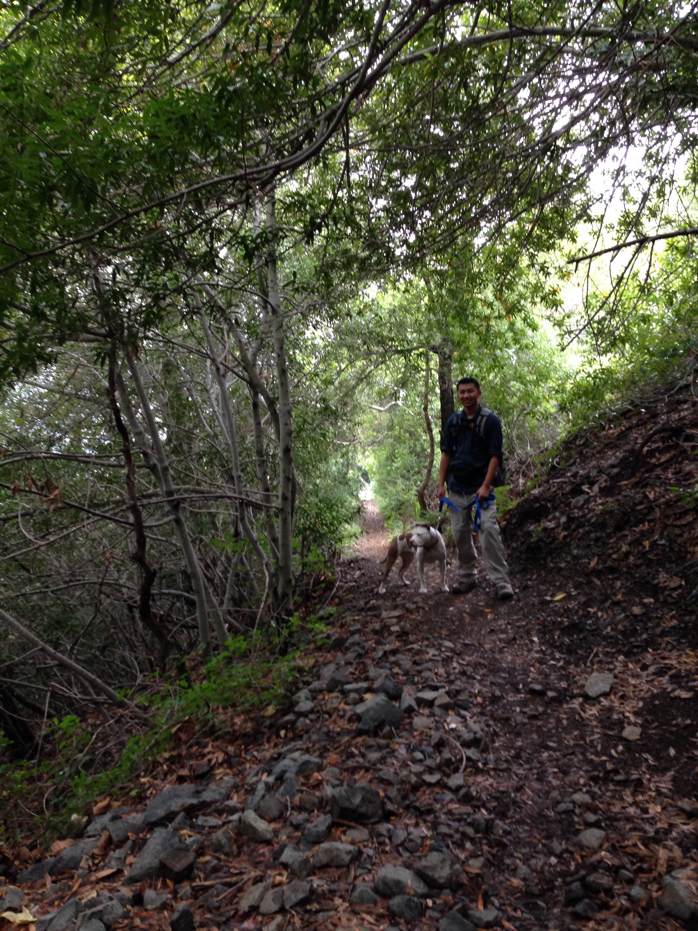
Louis and Dakota waiting for me on the trail.
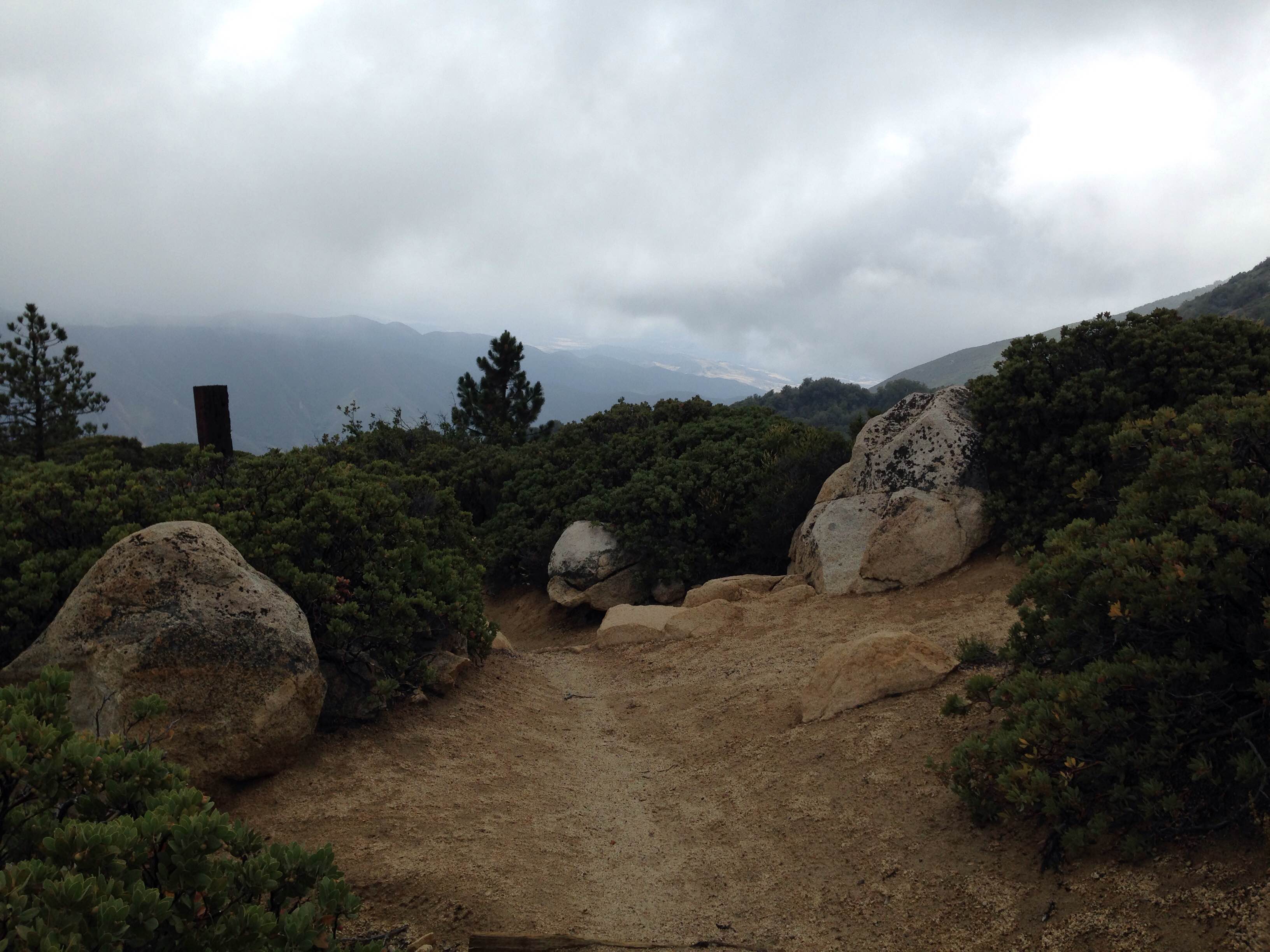
Once you have reached the Main Divide Road, you have the option of either going right or left on this road, both will lead you to the peak. By taking a left, you will walk along a well defined jeep path all the way to the top. The climb is more gradual, however, the distance is a little longer. We decided to take a right to try out a new route to the top. Watch for the Upper Holy Jim Trail mark at around mile 5, make a sharp left turn to get on this single track trail. It’s a steep but more direct climb to the top.

Louis and Dakota waiting for me again at the trail intersection on Main Divide Road.

Sign for the Upper Holy Jim Trail at mile 5.
Single track trail to the peak.
By the time we got close to the top of the peak the temperature had dropped a good 30 degrees. The fog was nearly impenetrable by the time we neared the peak. At just shy of 6,000ft above sea level, Santiago Peak is the tallest peak in Orange County. On a clear day the peak provides a nice view of the surrounding area. Unfortunately, today we could barely make out the cell towers a few feet in front of us. 
Aside from the disappointing view on the top of the peak, hiking this trail on a cool, cloudy day was definitely a great idea. Louis and I want to attempt trail running a part of this hike next time around.
