
The Quick and Dirty:
Location: James Dilley Greenbelt Preserve is located north of Hwy 73 on Laguna Canyon Road inside Laguna Coast Wilderness park in Orange County, California. Use this Google Map link for exact driving directions and use this link for the trail map.
Distance: About 3.4 miles on the Lake, Edison and Ridge Top trail loop (this is the outer loop of the preserve) and additional 2 miles for the Canyon Trail to the Mariposa Trail loop (this is the inner loop of the preserve).
Difficulty: Easy hike, moderate trail run, lots of good rolling hills for a good workout.
Duration: It took us about 1 hour to finish the 5 mile run with a break at the top of the ridge line.
Dogs Allowed? No dogs or mountain biking are allowed inside the preserve.
Best time to visit: Year-round but spring during the wild flower season is a great time to see all the California native wildflowers blooming inside the preserve.
Trail Parking: Parking is $3 at the designated preserve parking lot. There was plenty of parking early in the morning when we started the run but the lot got pretty full by the time we left.

The entrance to the James Dilley Greenbelt Preserve on Laguna Canyon Road shortly passing Hwy 73 heading northbound.
This past Saturday morning Louis and I decided to do a short trail run inside James Dilley Greenbelt Preserve (preserve) within the Laguna Coast Wilderness Park. Unfortunately we couldn’t bring Dakota with us since no dogs are allowed in the preserve. After a quick breakfast in the morning, we arrived at the trailhead midmorning to begin the run. This is a relatively small preserve, we first ran the outer loop of the preserve on Lake, Edison and Ridge Top trail which was about 3.4 miles. The trail starts out relatively flat and with the forecasted rain coming in later in the day, we were gifted with mild weather with temperature in the lower 70s.
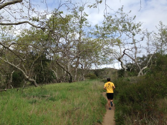
Sycamore tress lined up along the Lake Trail
At the end of the Lake Trail is Barbara’s Lake. This is one of the three natural lakes in Orange County and it’s usually filled year-round.

Barbara’s Lake
The incline begins after passing Barbara’s Lake. After a breathtaking climb (literally!), we ended up at the top of the preserve at the beginning of Ridge Top trail. At the top there is a reservoir and a helicopter pad that provides a nice view of the valley below.

Helicopter pad at the top of the preserve.
Wild flowers in full bloom on Ridge Top trail. I had to stop a few times to take the beauty of it all. It always ceases to amaze me how Southern California transforms after the rainy season.
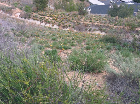
Sages, daisies, buck wheat in full bloom
We felt pretty good after completing the outer loop and decided to extend our run for a couple more miles by running the inside loop by following Canyon and Mariposa trail. We stopped by one of the many signs along the trail and tried to use the audio tour function. After a couple minutes on the phone for the audio tour, we got tired of the waiting for the tour to start and kept moving along on the trail. This would be a very cool addition to the trail if they sped up their phone system.
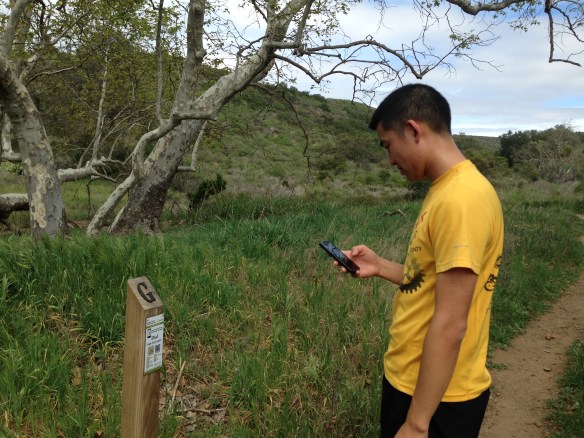
Louis waiting for the audio tour of the trail via his phone
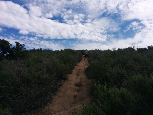
The ascend on Canyon Trail was much more steep compared to the outer loop. We ran up the hill and eventually ended up on the helicopter pad again at the top of the ridge line.

View at the intersection of Ridge Top and Canyon Trail
I took it pretty slow coming down the Mariposa trail because the single track was rocky and steep towards the top.
Coming down Mariposa Trail
Overall, we enjoyed this run, it’s good distance for a short weekend run but the hill climbs makes this an excellent workout. It’s too bad we can’t bring Dakota on this trail since she enjoys trail running as much as we do.

Looks like a gorgeous place to run!
It is, the wild flowers makes an awesome place to visit during the spring bloom!