Trail Report- Zion National Park Angel’s Landing and Canyon Overlook Trail

Back in July, I was selected as one of the lucky lottery recipients with a day hike pass to the Wave, in Arizona. For more details of how I applied for the lottery, see old post HERE.

On the last weekend of October, the trip to The Wave finally came. Since our day hike for The Wave was on Sunday, we decided to string on a couple stops to make the weekend trip more memorable. First stop was an old favorite, Zion National Park to hike the famous Angel’s Landing.

Zion National Park

Continue reading

Trail Report: Cottonwood Lakes, John Muir Wilderness

The Quick and Dirty:
Location: Sequoia National Forest, John Muir Wilderness
Distance: 7 miles one way to the third lake
Terrain Type: gradual incline, classic southern sierras terrain
Difficulty:  Easy/Moderate
Best Time: Late summer and early fall, the road is closed when there is snow fall Special
Conditions: US national forest, advanced permit needed for over night camping and dogs are allowed on trail. Elevation on this trail is around 11,000′ above sea level (asl), acclimating at the trail head is strongly encouraged.
Duration: 2 days

Continue reading

Trail Report: San Bernardino Peak

The Quick and Dirty:
Location – San Gorgonio Wilderness
Distance – 14 miles round trip
Terrain Type – Dirt and Sand, Switch backs, narrow trail.
Difficulty – Intermediate to Strenuous
Best Time – Spring through Fall
Special Conditions – Permit required, apply in advance.

P1040683

San Bernardino Peak sits 10,470 feet above Redlands, California.  While not the tallest peak in Southern California, it is one of the best destinations for weekend backpacking due to the close proximity to the greater Los Angeles area.

Continue reading

Trail Report: Mount Whitney

The Quick and Dirty:
Location – Eastern Sierra Nevada, California
Distance – 10.7 miles one way to summit, 21.4 miles round trip (RT)
Terrain Type – Rocky, Sandy, Gravel, Switch Backs
Difficulty – Strenuous
Best Time – July-August after the snow melts
Special Conditions – Special permit required for backpacking and day hiking to Whitney summit.

Mount Whitney summit

Summit of Mount Whitney

Continue reading

Gene Marshall Trail, Los Padres National Forest, California

The Quick and Dirty:
Location – Los Padres National Forest
Distance – 17.9 miles one way (trail head to trail head), 35.8 miles round trip
Terrain Type – Flat terrain, Canyons, Light Climbs
Difficulty – Beginner to Intermediate (varies by season)
Best Time – Fall through Early Summer
Special Conditions – Water is relatively accessible, horses, hunting

267452_10100449913486621_262284_n

First and foremost, I apologize for the quality of the photos.  I shot most of these on my older cellphone camera.

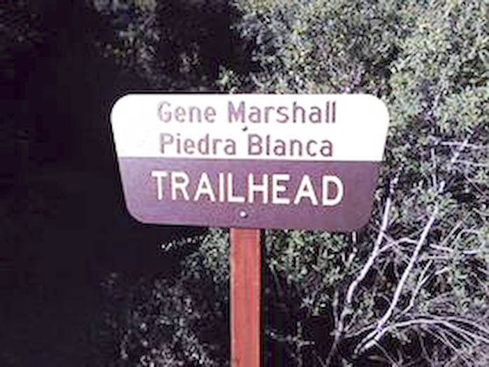
My sisters and I always do one trip together a year and it has become a tradition to head out to the woods for one weekend together.  This year, we chose to trek the Gene Marshall – Piedra Blanca National Recreation Trail in Los Padres National Forest, Mount. Pinos district.  The trail is a short and easy trail with mixed ecosystems.  It is a great introduction to backpacking for beginners, but also a good weekend get away for seasoned hikers.  We do this trip at least once a year because you can do a short weekend trip or a nice three day thru-hike.

Continue reading