The Quick and Dirty:
Location: Lost Coast Trail
Distance:
Day 4 – Hike from Gitchell to Black Sands Beach – 3.9 miles.
Drive to Sinkyone Wilderness State Park (through a redwood forest/jungle) for Lunch. Drive out to Mendocino for a mini-vacation.
Difficulty: Easy
Duration: 2 hours
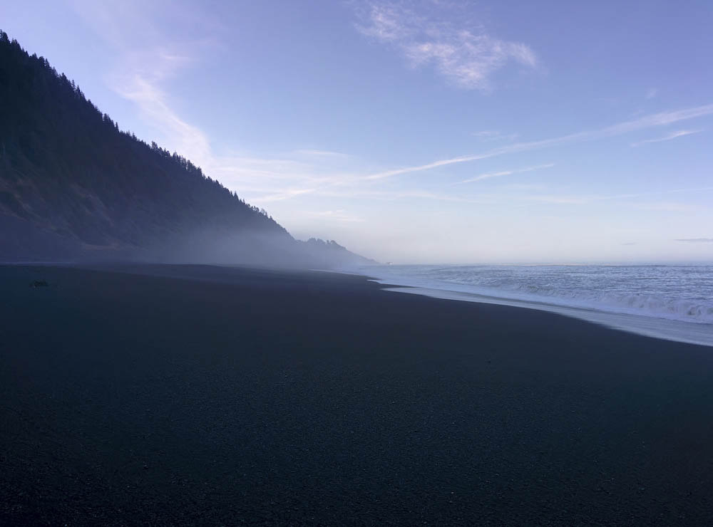
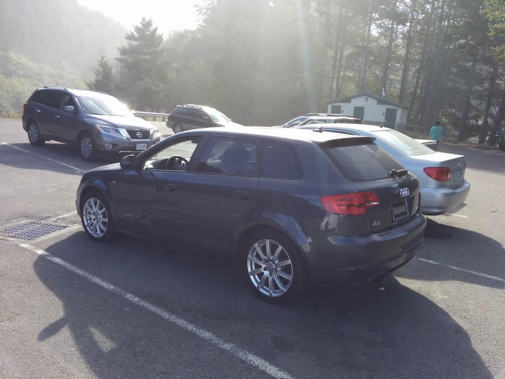
The next morning, we woke up late and headed out and saw the remaining group behind us catching the low tide. We walked along the wet sand for good footing and got to the parking lot about 1.5 hours later. We heard it is common for thieves to break into cars and were not surprised to see the car next to us with it’s windows smashed in. We were just glad that it was not our own car.

Car that was broken into at Black Sands Beach
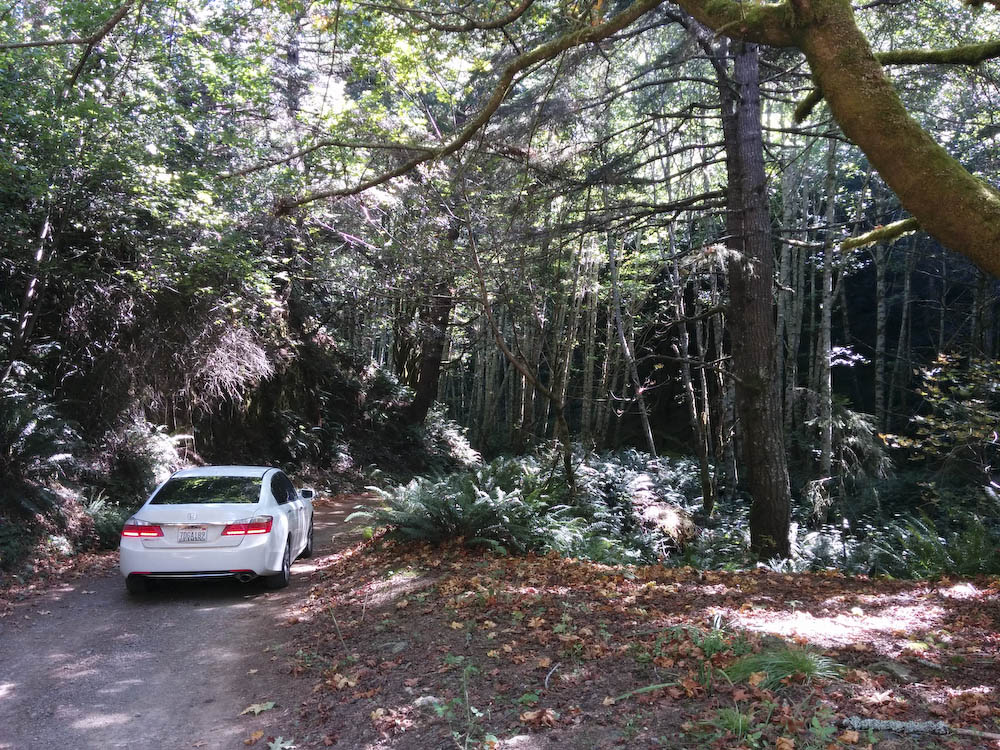
We decided to drive down south to the ranger’s station to check out Sinkyone Wilderness State Park. We stopped by the Shelter Cove General Store to pick up some fresh fruits and tea, then headed out towards Sinkyone. The drive was beautiful, it gave us a great view of alder and redwood forests we did not see during our Lost Coast hike, but we would not recommend small sedans driving through the road. It is a narrow pave road, then slims down to a dirt road. Driving the road on a wet day would be horrible. We overheard the lady at the General Store mention that she sends out tow trucks to pull out small cars all the time. Never the less, every car that showed up that morning was a small sedan.

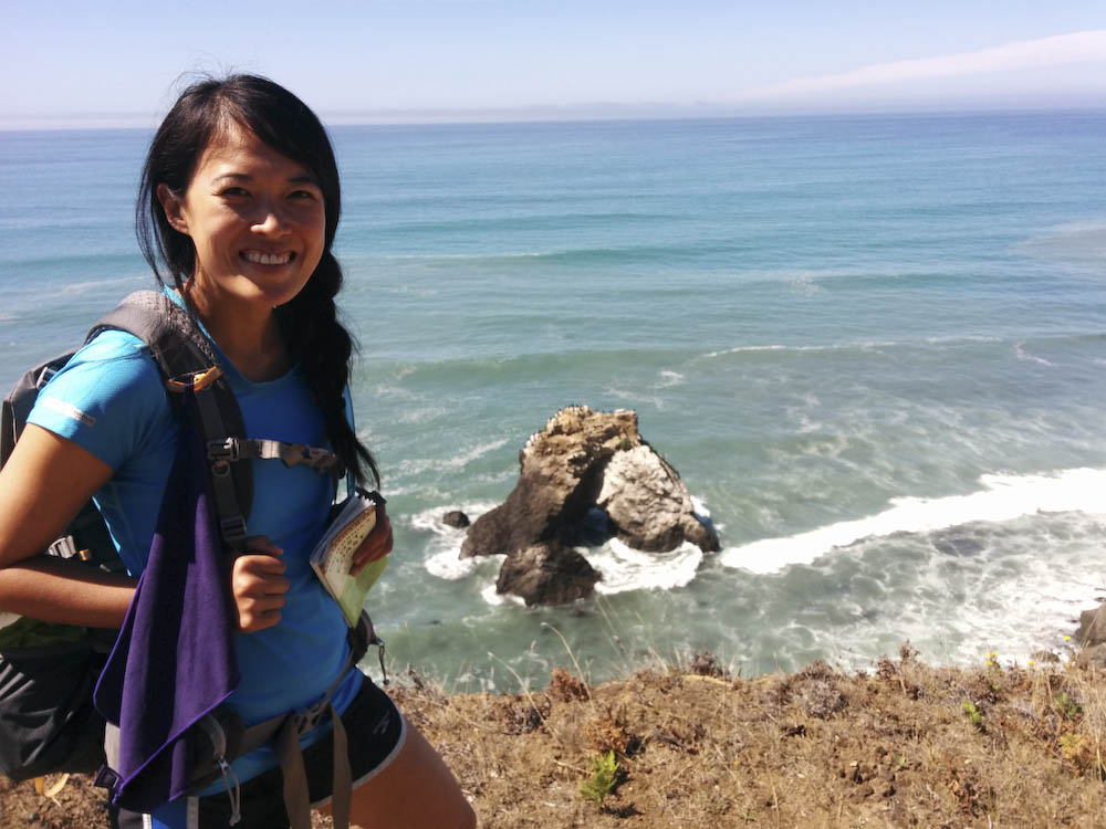
Originally we wanted to do some more hiking inside the Sinkyone, the Lost Coast stretches an additional 24 miles south of Shelter Cove. However, Louis’s feet hurting from the previous 50 miles. We took a quick tour around the ranger’s station, got a free cup cake from the host and a walk out to Needle Rock and Johns Beach for lunch.
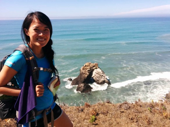
Needle Rock at Sinkyone Wilderness State Park


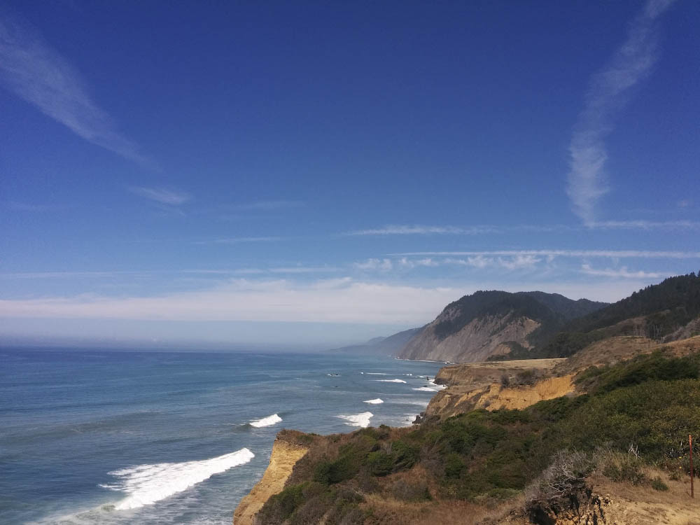
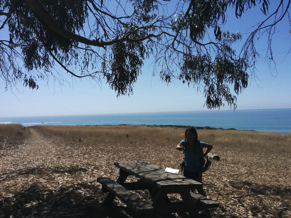
Sweet little lunch spot above the cliffs
We hopped back in our car and drove two hours to Mendocino for a two night stay at the Inns of Glendeven before making the drive home. Glendeven was a awesome place to stay. Just off Highway 1, it has chicken coups, llamas, organic vegetable gardens, and bee hives. Free wine tasting for guests at 6PM every night and a large selection of local wines and jams. Just outside our door are trails to two State Parks. Every morning we took a stroll before breakfast to the bluff tops. Definitely worth the stay. A HUGE thanks to Jeff from SoCal Hiker for his recommendation at the Inns of Glendeven. We couldn’t have asked for a better way to end our trip.
Return to Lost Coast Overview