
This post is a part of the series for backpacking at the northern portion of the Olympic Wilderness Area from Ozette ranger station to Shi Shi Beach. We had trouble finding good resources describing the all the high tide crossings between Ozette ranger station and Shi Shi Beach when we planned our backpacking trip and thought it would be useful to document all the crossings in a blog post for future use.
Before I dive into the specific high tide crossing areas, there are some good to know facts regarding high tide crossing throughout this trail outlined below:
- Water resistant shoes are very useful throughout this trail as the probability of rain and getting your feet wet during tide crossings are high. I did not bring water resistant shoes on the hike and ended up getting my feet wet during a couple crossings. It wasn’t a huge deal for me since it was a short trip and I always had extra wool socks to change into.
- Hiking poles are super useful for boulder crossings. They provide better support and balance as you make your way around the slippery rocks.
- A detailed trail map with passable tide heights can be purchased at the WIC in Port Angeles. This is a very user friendly map and it’s important to have this map to understand when the section will be impassable. Since we completely missed Port Angeles on our way to the trail-head, we just took snap shots of the map and referenced it on our phones.

Snapshot of a friendly hiker’s tide map
- Print out a current month tide table to accompany the trail map. The tide tables can be found HERE. Be sure to print this out to understand when the low and high tides are as they change on a daily basis.
- Bring gloves for the overland trails! The ropes are rough and will cut into your hands as you use it to pull yourself up.

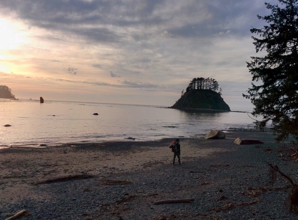 A couple weeks ago, Louis and I both had a last minute 4-day weekend and decided we would use it to backpack the North Ozette Coast located within the Olympic Wilderness and National Park area. Similar to the Lost Coast write up, we will break up this trip into several different posts including daily trail reports and tide reports.
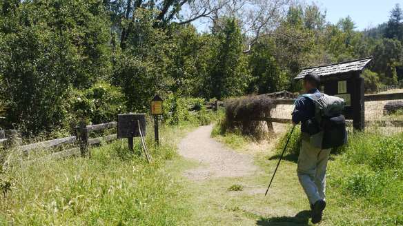
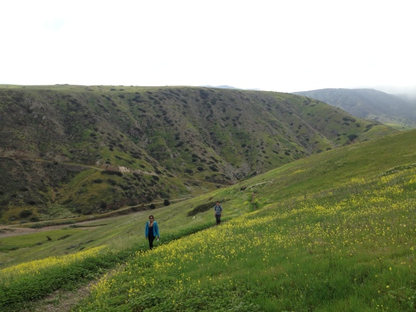 Channel Islands National Park has long been on our list of places to visit. Since Louis’s birthday fell on a Friday this year, I made an executive decision to celebrate his birthday by visiting Santa Cruz Island within Channel Islands National Park. Out of the five islands within the National Parks jurisdiction, Santa Cruz island is the most frequently visited island. Ferries to and from the island are available at least once a day.