Trail Report- Devils Postpile National Monument, Minaret Lake Trail

The Quick and Dirty:
Location: 
Devils Postpile National Monument is located close to Mammoth Lakes resort, the drive time to the trail head was approximately 6 hours from Orange County. Park your car at the Village in Mammoth Lakes and take the Reds Meadow/Devils Postpile shuttle bus service ($7/person RT) to the Devils Postpile trail head. 
Distance: ~6.5 miles to the entrance of the Minaret lakes, there’s about 2 additional miles of unmaintained trail to explore once you’ve reached the lakes. 13 miles roundtrip. 
Difficulty:  Easy, total elevation gain of about 2500ft over 6.5 miles 
Best Time: summer and fall 
Duration: 3.5 hours at a leisure stroll to the lake
Permits: Wilderness permits are required for all overnight stays. Permits can be obtained at recreation.gov. Keep in mind, this is a popular trail, daily quotas fill quickly. 
Dogs: Dogs are allowed on the shuttle and trail, however, they do require dogs to wear a muzzle on the shuttle.

minarets2

Minaret Lakes

Continue reading

Trail Report- San Jacinto Peak via Marion Mountain Trail

The Quick and Dirty:
Location: 
San Jacinto Peak is located within San Jacinto State Park on Highway 243, the nearest city to the state park is Idyllwild. 
Distance: 10.4 miles round trip to San Jacinto Peak via Marion Mountain Trail
Terrain Type: This 5.2 miles one way trip to San Jacinto Peak is a steady 4,600 ft elevation climb.
Difficulty:  Strenuous
Best Time: Year round
Duration: 6 hours and 30 minutes. It took us 3.5 hours going up and 3 hours coming down.
Permits: Wilderness permits are required for both day and overnight hikes. The day use permit can be obtained at the ranger’s station in Idyllwild or at the Long Valley Ranger Station, there is no quota limit on day hikers. Overnight permits will be accepted up to 8 weeks in advance. See link below for the Wilderness Overnight Permit. Ranger station hours are daily from 8AM-4PM. 
http://www.parks.ca.gov/pages/636/files/dpr409.pdf
Dogs: Dogs are not allowed in the State Park however, there are many campsites around the area that belongs to the National Forest and allow dogs. We plan to explore this area more with Dakota on our next trip.

IMG_20150524_145303

Beautiful view of San Jacinto Peak

Continue reading

Trail Report- Foresee Creek, San Bernardino National Forest

The Quick and Dirty:
Location: Located within San Bernardino National Forest in San Bernardino County, California. The trail head is located on Jenks Lakes Road West off Hwy 38. Follow sign for Foresee Creek Trail to a dirt road, the parking lot is approximately a quarter mile away from Hwy 38.
Distance: 13 miles round trip to San Bernardino peak trail junction via John’s Meadow.
Terrain Type: Relatively flat from Foresee Creek trailhead to John’s Meadow. There is a 200+ feet climb from John’s Meadow to the main San Bernardino peak trail junction closest to Columbine Springs. This trail is unmaintained but navigable. Water is available year round on this trail.
Difficulty:  Easy to moderate, we were able to keep a little over 3 mile per hour pace for this hike.
Best Time: Year round but spring or after a rain storm is the best time.
Duration: 5 hours include 30 minutes of lunch break
Permits: Wilderness permits are required for all day and overnight hikes. The permit can be obtained up to three months in advance at the Miller Creek Ranger Station. For more information, see the following link for instructions on how to obtain a permit. You do not need a National Forest Adventure Pass to park at the trailhead. http://www.sgwa.org/permit.htm
Dogs: Dogs are allowed on this trail

IMG_20150523_123055

Continue reading

Backpacking Trip Planning Tips

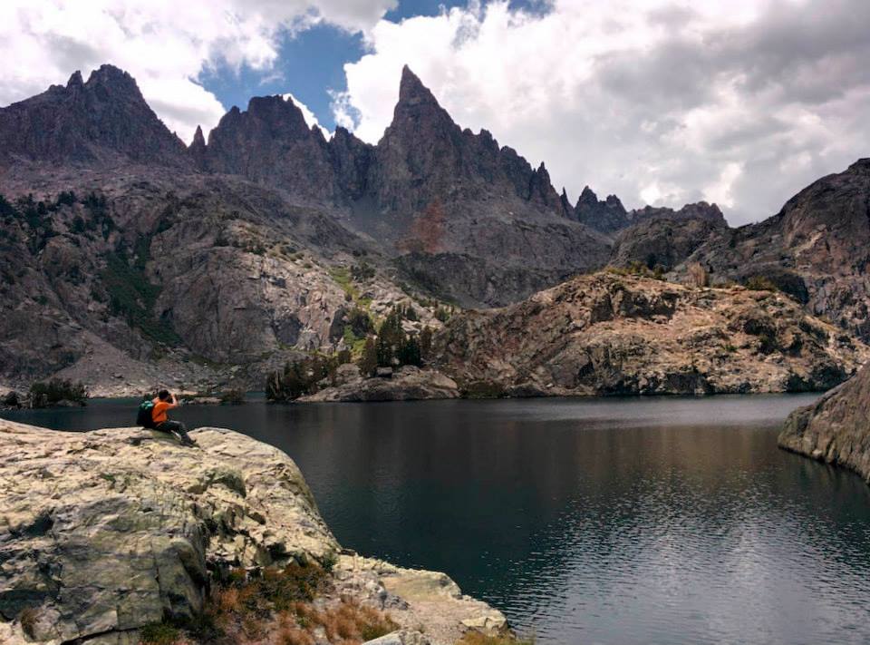
While going on multi-day backpacking trips are a lot of fun, they actually take quite a bit of planning. We’ve found the quality of our backpacking trips dramatically increases as we do more planning and research of the terrain we will be traveling on. This post is a quick summary of what we generally do before leaving for a backpacking trip.

Decide a location and research about it. 

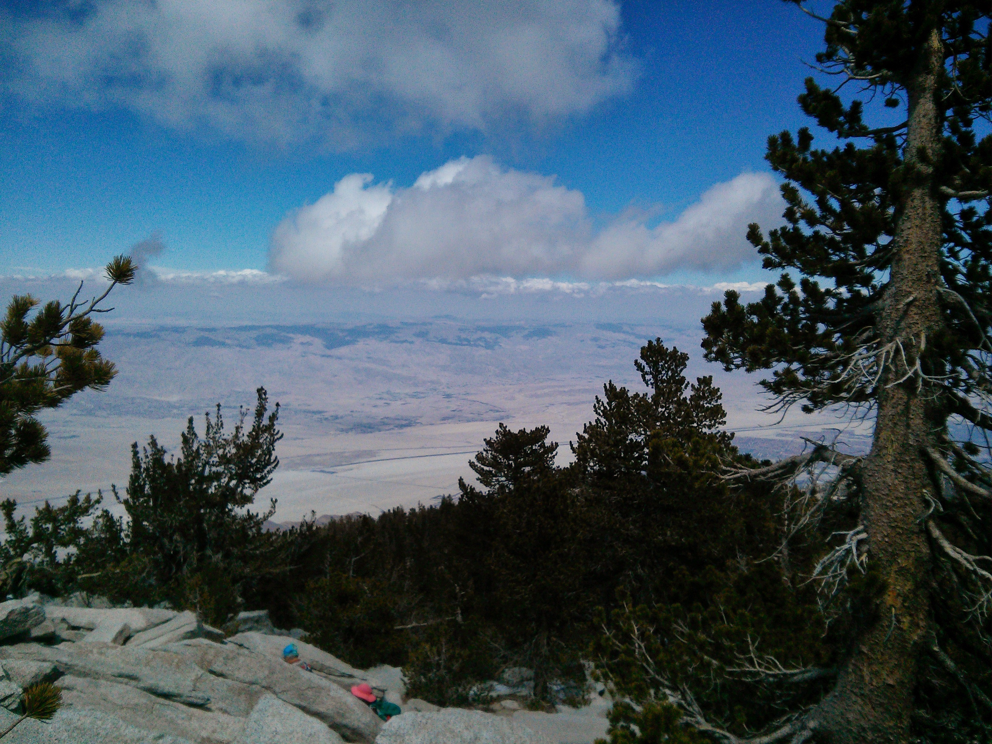
Depending on the duration of the trip, we have a general idea of the area we want to go. For a short one night weekend trip, we typically venture into nearby national forests such as Los Padres and San Bernardino national forest in Southern California. For longer trips, we generally drive to the Sierra Nevada mountains which are 4-5 hours east of the coast. Once a location has been decided,we utilize online blogs to pin down the trails we want to hike to. Online blogs are also a great resource to give us an idea of the terrain type, water availability and details of how to obtain a permit.

Obtaining an overnight permit

Once a trail has been decided, obtain a permit before doing any further planning! To protect the forest ecosystems, there are a set number of people allowed each day on a trail. With backpacking getting more and more popular, we have seen a dramatic increase of people in the back country making it more difficult to get last minute permits. Most of the back country trails require an overnight back country permit, depending on the area, permitting processes can be very different. For example, Inyo National Forest reservations can be made online on http://www.recreation.gov whereas San Bernardino National Forest reservations need to be faxed to the ranger’s station. The best resources for obtaining a back country permit is the official wilderness website itself.

Trip Planning

Once a permit has been obtained, it’s time to start the detailed trip planning. We use many of the resources online to help us choose a trail head but most of the times we like to customize the trails based on the season (water availability), our interest and ability. Below are a few of the resources we use to plan our trips in California

  1. Caltopo. This web page provides a very detailed topo map of California but you will have to manually draw out your hiking itinerary. Once your trail map is drawn, Caltopo calculates your trail distance and total elevation change of the selected trail. Pretty neat website to help us get a better understanding of the terrain.
  2. Online forums. Due to the on going drought and the natural Chaparral environment in Southern California, we often depend on recent forums to check on water availability on the trail. For San Bernardino Mountains, we use http://www.sgwa.org/ to check recent trail conditions and water availability.
  3. Back Country Topo Pro is a new phone app Louis recently bought for $11.99 for his Nexus 5. We are still testing this app out and will do a more detailed review on it later. This is an app that allows you to download the topo map on your phone prior to leaving for a trip, it’s meant to be a makeshift GPS. These maps include various states in the U.S and also a handful of international countries too.

Packing for the trip

Leaving for a trip the next day? Don’t put off your packing until the last minute! For short weekend trips, we have a very simple packing system and usually pack the day before. For longer trips we start prepping for the food days before. It’s important to plan out each item in your backpack to avoid carrying excess weight!

Water supplies: We always carry at least 1.5 L of water per person and 1L for Dakota on our trips. This is the minimum amount we carry even if there is an amply supply of water on the trail. When we first started backpacking, there have been times where we miscalculated our water consumption or were over confident on the water availability. Dehydration is a very serious matter and can happen quickly.

Last but not least, send a friend or a family member your itinerary. Let them know where you are going and when you are expected to be back. This way they know who and where to call for help in case of emergency.

Being in the back country is one of my favorite things to do in the world. However, it can quickly turn into a dangerous place if there is no proper planning.

Trail Report- Holy Jim Trail to Santiago Peak, Orange County, California

The Quick and Dirty:
Location: The turnoff for the trail is approximately 6 miles from O’Neil Park on Trabuco Canyon Road. Make a right turn onto a dirt parking lot onto Trabuco Creek Road and continue on Trabuco Creek Road for about 4.6 miles to the main parking lot for Holy Jim Falls. Tip: google maps will pull up the parking lot location if you search “Main Parking for Holy Jim Falls and Trail, Trabuco Creek Road, Corona, CA 92883.” 
Distance: 16 miles round trip to Santiago Peak, 2.8 miles to Holy Jim Falls
Terrain Type: High clearance vehicle is highly recommended to get to the trail head. Nice coverage for the first 1.4 miles to Holy Jim Falls, it is a continuous climb with lots of sun exposure for the remainder of the hike to Santiago Peak. There are no water sources after the Holy Jim Falls, 3L of water is suggested if you plan on doing the entire 16 mile hike. This is a dog friendly trail.
Difficulty:  Strenuous hike with more than 4,000 feet of elevation gain
Best Time: Year round but spring or after a rain event is the best time.
Duration: 6.5 hours, averaging 2 mph going to the peak and 3 mph coming down.

IMG_20150516_123121 Continue reading