Oak Glen Preserve, Yucaipa, CA

I woke up last Sunday realizing it was a gorgeous day in Southern California. After a long hot summer, it finally felt like fall has arrived in Southern California. With temperature dipping below 80 degrees, we wanted to take advantage of the beautiful weather by visiting the Oak Glen Preserve in Yucaipa, California.

Located 80 miles from Orange County, the drive to Oak Glen Preserve took about an hour and half without any heavy traffic. We arrived at the preserve at 10:30 and the place was  getting crowded. The entrance to the preserve is free but they do encourage donations at the end of the hike.

The main loop of the hike consist of 2-miles of flat walking. The trail started out at Children’s Forest, I was delighted to find tons of California native plants blooming in the area. Next, we stopped by a large area shaded by giant sequoias. Although these sequoias are young compared to their counter parts in the north, it felt a little surreal to be looking up at giant sequoias in San Bernardino County. Nonetheless, it was a great way to experience the sequoias locally without having to travel too far.

Giant sequoia trees

Giant sequoia trees

Next we hopped onto the chaparral loop and decided to extend our hike up the spurs trail. The spurs trail was definitely a good cardio workout, it is 0.9 miles of steep single-track uphill, we were definitely out of breath by the time we got to the top of the hill. The view at the high elevation is definitely worth the hike if you have the time.

view at the top of spurs trail

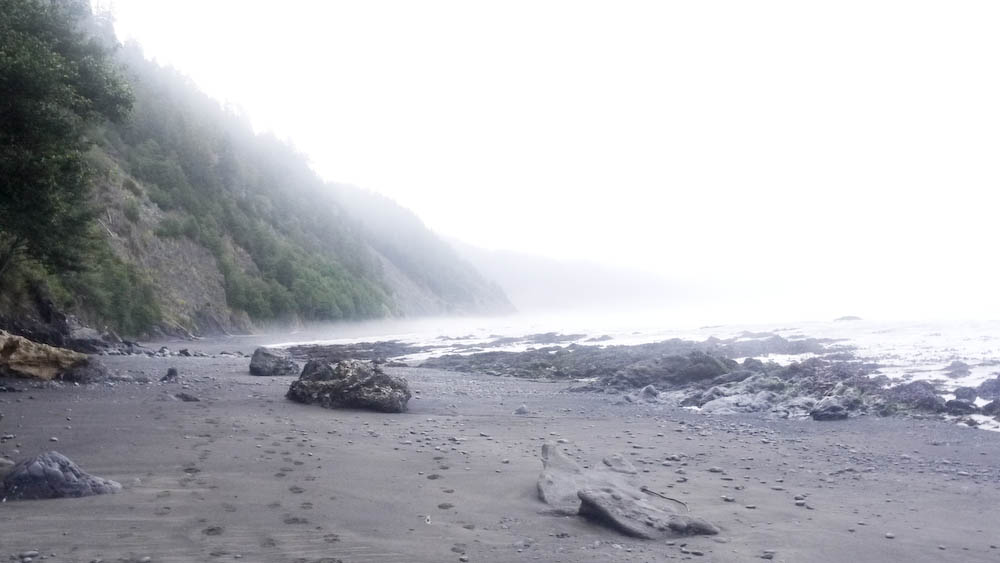
This was the view at the top of spurs trail. Since it was a clear day, we were able to see the Saddleback Mtns near our house from the high point.

We finished our 5 mile hike around 1:30PM and noticed the picnic areas near the entrance of the preserve was now packed with lots of young families. We initially wanted to stop by the Los Rios Rancho, a shop next door to the preserve, however, seeing how long the lines were for a seasonal pie, we quickly changed our minds.

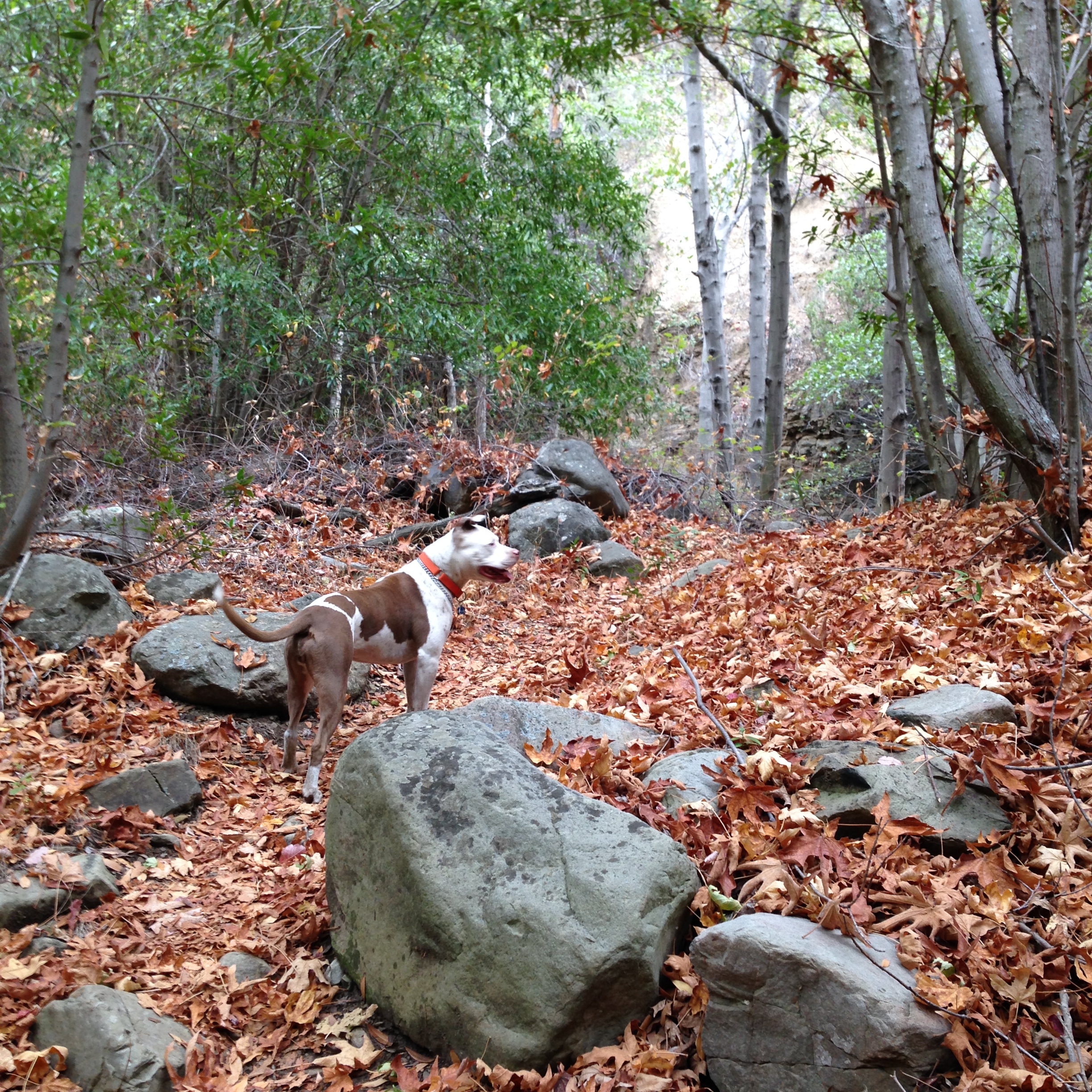
The Oak Glen preserve is open daily from 8AM to 4:30PM. It’s a great place to take family and friends and spend a day outside. The main loop trail is easy to do for people of all ages and if you are looking for something a little more challenging, the spurs trail is a good one to try. The preserve is also dog friendly, so take your pup with you to enjoy this amazing open space!

IMG_20151108_112833_1

Resources: 
http://www.wildlandsconservancy.org/preserve_oakglen.html

Click to access OGP_BotanicGarden_TrailMap_Oct2014.pdf

Trail Report- Matilija Creek, Ojai, California

The Quick and Dirty:
Location:
 Matilija Creek trail located 30 minutes north of Ojai, California inside the Los Padres National Forest
http://caltopo.com/m/6S4R
Distance: about 12 miles round trip to Upper Matilija Creek Campground. 
Difficulty: Easy however the short switchback from Middle Matilija Creek to Upper Matilija Creek is not very well maintained. I would avoid this area during the rainy season as the integrity of the trail is questionable and looks prone to landslides.
Permits: Permits are not required for this trail, however we used an Adventure Pass to park at the trail head.
Dogs Allowed: Dogs are allowed within Los Padres National Forest.

This summer has been an exceptionally warm one in Southern California. With the weather still in the high 90s, we were hoping to catch another backpacking trip to the Eastern Sierras before winter hit. We planned a trip with our group of friends to Cottonwood Lakes inside the John Muir Wilderness area but decided to cancel the day before due to thunderstorm warnings. As a backup, the group decided to check out Matilija Creek trail because it is one of the few places in Southern California where there is still a reliable water source. Located 30 minutes north of Ojai, California, inside Los Padres National Forest, it took us 2.5 hours to get to the trail head from South Orange County Saturday morning.

IMG_0308

Fall foliage in Matilija Creek, Los Padres National Forest

Continue reading

Trail Report- The Lost Coast Day 2 – Punta Gorda to Matolle Beach, Matolle Beach to Spanish Flats

Light House at Punta Gorda

Light House at Punta Gorda

The Quick and Dirty:
Location: 
Lost Coast Trail
Distance: Day 2 – Punta Gorda to Mattole Beach, return back and hike to Spanish Flats – 14 miles
Difficulty:  Moderate, 50+mph gusts of wind made part of the hike unpleasant.
Duration: 8-9 hours

Continue reading

Overview of the Lost Coast Trail, California

P1080196

UPDATED October 26, 2016

Over the next month, we will be reporting on our trip through the Lost Coast.  The posts will include our daily trip diaries, food preparation, and current conditions and tips.  We plan to revisit and update the posts as we think of new ideas and new resources.

The Lost Coast trail is located in Northern California in Humboldt County. The shoreline at the southern end of the trail is so seismically unstable, the Pacific Coast Highway (Hwy 1) had to be moved miles inland.  Out of all the trekking trips on our to do list, the Lost Coast trail has long been on the top of the list. Being Californians, we felt this was a classic trail we had to tackle.

The 11 hour drive from Orange County has always been the main deterrent for us. However, due to the high number of fires in the Sierras, we had to cancel our week-long section hike of the John Muir Trail (JMT) and immediately jumped into planning the Lost Coast Trail after we heard a rumor about a potential quota restriction next year (see Permits and Restrictions for more details).

The Quick and Dirty:
Location: 
Located in Humboldt County, California.  The Lost Coast is broken into two sections, the Kings Range Wilderness and the Sinkyone Wilderness State Park. The Kings Range Wilderness section, which is the most popular stretch of the Lost Coast Trail, is located at Mattole Beach to Black Sands Beach in Shelter Cove.
Distance: 25 miles on the north trail, one way. We hiked from the southern end to north and back (50 miles total). While flat, the trail was tough because of the rocky terrain and soft sand.
Best Time: Year round, the area gets around 100 inches of rain every year. 
Duration: About 3.5 days with early mornings and afternoon breaks to wait for low tide. 
Permits and Restrictions: Permits can be obtained at either Matthole Beach or Black Sands Beach trailhead until January 8, 2017. Beginning January 9, 2017, advanced backcountry permits will be required.  Click here for more details. Make sure to obtain a fire permit online or at the ranger’s office if you plan on using a stove for cooking. A bear canister is also required for this trail and available for rental at the local BLM office.  As of September 2015, The ranger stated their may be a quota implemented in 2016.  Dogs are allowed on the trail. We did not bring Dakota with us because we were concerned the coastal terrain would be too hard on her paws.

Continue reading