Trail Report- Matilija Creek, Ojai, California

The Quick and Dirty:
Location:
 Matilija Creek trail located 30 minutes north of Ojai, California inside the Los Padres National Forest
http://caltopo.com/m/6S4R
Distance: about 12 miles round trip to Upper Matilija Creek Campground. 
Difficulty: Easy however the short switchback from Middle Matilija Creek to Upper Matilija Creek is not very well maintained. I would avoid this area during the rainy season as the integrity of the trail is questionable and looks prone to landslides.
Permits: Permits are not required for this trail, however we used an Adventure Pass to park at the trail head.
Dogs Allowed: Dogs are allowed within Los Padres National Forest.

This summer has been an exceptionally warm one in Southern California. With the weather still in the high 90s, we were hoping to catch another backpacking trip to the Eastern Sierras before winter hit. We planned a trip with our group of friends to Cottonwood Lakes inside the John Muir Wilderness area but decided to cancel the day before due to thunderstorm warnings. As a backup, the group decided to check out Matilija Creek trail because it is one of the few places in Southern California where there is still a reliable water source. Located 30 minutes north of Ojai, California, inside Los Padres National Forest, it took us 2.5 hours to get to the trail head from South Orange County Saturday morning.

IMG_0308

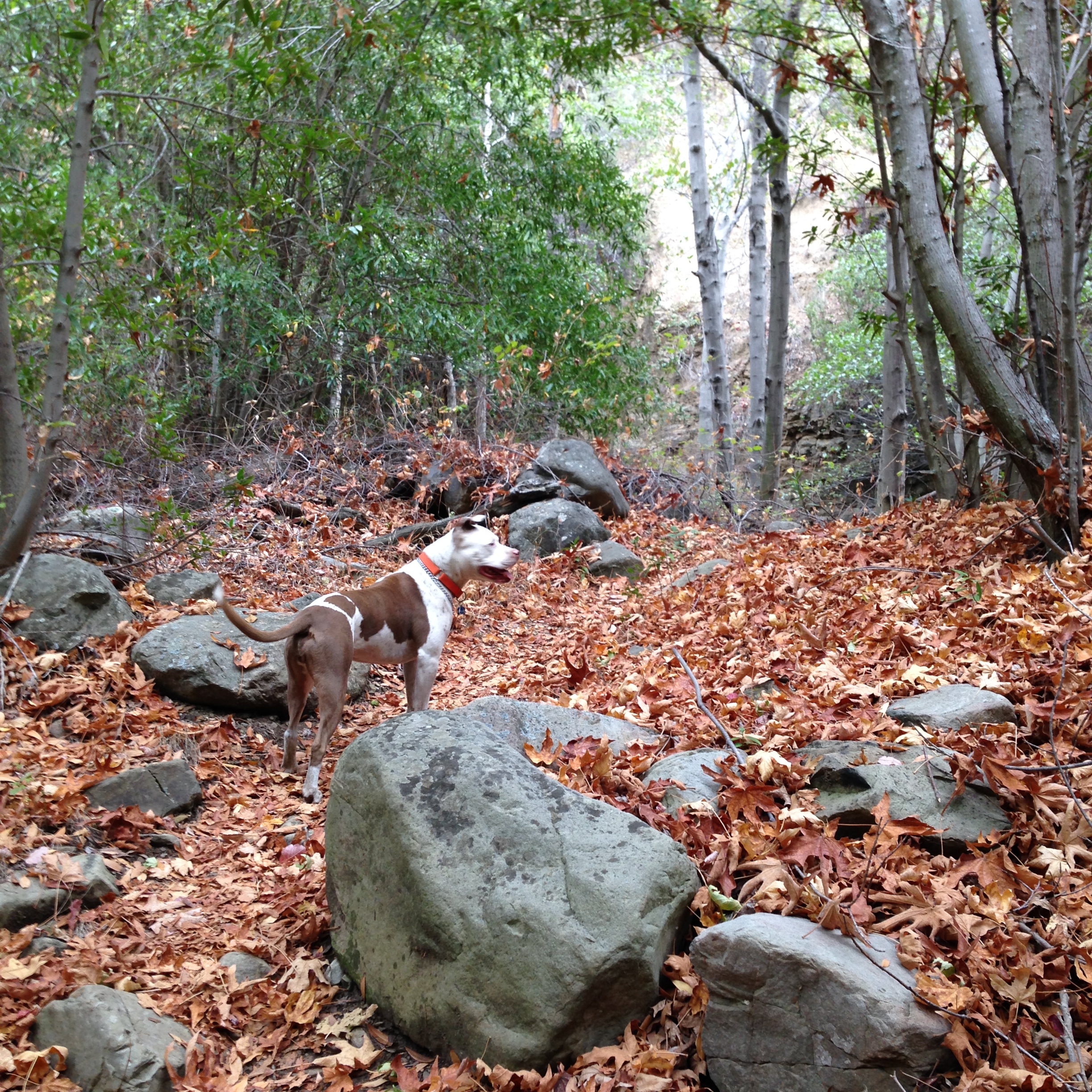
Fall foliage in Matilija Creek, Los Padres National Forest

Continue reading

Food Preparation- 5 Day 2 Person Backpacking Trip

As avid backpackers, Louis and I have our responsibilities down pretty well when it comes to preparing for a backpacking trip. Louis packs the gear (tent, stove, fuel, etc). and it is my responsibility to prepare and pack the food for us. I got pretty tired of the ready made backpacking food early on and decided to explore other options. Since our gears are ultralight, I try to do the same for the food without giving up on taste. I try to strive for the following when packing for food:

  1. Count calories and bring the exact amount we need. There are been many times where we brought way too much food and had to haul half of it back home.
  2. Try to only pack one hot meal per day. I’m even trying to cut back on this for long mileage days (10+miles) since we are usually too tired to cook at the end of the day.
  3. Bring lots of high energy snacks while we hike during the day. Low blood sugar can really slow you down when you are hiking.

    P1080133

    We managed to fit all 5 days of food for 2 people in our Bearvault BV500.

Continue reading

Trail Report- The Lost Coast Day 2 – Punta Gorda to Matolle Beach, Matolle Beach to Spanish Flats

Light House at Punta Gorda

Light House at Punta Gorda

The Quick and Dirty:
Location: 
Lost Coast Trail
Distance: Day 2 – Punta Gorda to Mattole Beach, return back and hike to Spanish Flats – 14 miles
Difficulty:  Moderate, 50+mph gusts of wind made part of the hike unpleasant.
Duration: 8-9 hours

Continue reading

Trail Report- Lost Coast Trail Day 0 and 1

P1080159

The Quick and Dirty:
Location: 
Lost Coast Trail – Black Sands Beach to Gitchell Creek to Punta Gorda
Distance:
Day 0 – Drive 11 hours to Black Sands Beach/Shelter Cove, hike 3.9 miles to Gitchell Creek
Day 1 – Hike Gitchell Creek to Punta Gorda – approx. 18 miles
dtrip. 
Difficulty:  Moderate. Two, five mile stretches of low tide crossing area from Gitchell Creek to Miller Flats and Randall Creek to Sea Lion Gulch that hikers need to be aware of. 
Duration: 1.5 hours for from Black Sands Beach to Gitchell Creek. 9 hours from Gitchell Creek to Punta Gorda, with 4 hour break at Randall Creek.

Continue reading